Alpine Forest
A landscape designed after the Thornton Lakes area in Washington, USA
In this project, I designed an Alpine Forest biome based on the Thornton Lakes Trail in Washington, USA, The purpose of this documentation is to highlight the aspects of the reference images such as foliage placement, ground texture, and atmosphere, that were used to create realism.

This image is taken from the National Park Site for the Thornton Trail. At a glance, it shows many key features of the landscape to be produced, as annotated. This image was also used as reference in generating an accurate heightmap in Gaea.
Point 1 shows that the sky is clear, with sparse clouds. Based on this, my landscape used very few, barely visible clouds. Point 3 shows that the treeline extends well into the snow. Based on this, the height at which trees and other foliage would stop generating was decided. Point 4 also shows that the snow is present even at the slightly lower elevation close to the lake, and amongst the trees. This was used to decide the level at which snow would fade off.

This image is taken from a screenshot of Google Earth. This image was mainly used to glean further insights on foliage and the density of the snow. At a glance, it is also clear that some clouds are faintly visible on the horizon, although sparse.
Point 1 shows the density of snow nearer to the peaks is much greater. This information was applied by increasing the power of the snow mask to make the snow seem more dense. Point 3 shows that the trees are most likely spruce trees, with more sparse shrubbery and grasses. Using this information, I picked relevant assets from Fab; namely the "temperate Vegetation: Spruce Forest" pack by Project Nature, and the "Free Shrubs Pack" by Greenleaf Vision. The latter was chosen as two of their assets closely resembled the shrubbery seen in the Google Earth panoramic view. Point 2 also shows that the canopy is very dense on the sides of the mountains. Tying into the earlier findings from point 3, the foliage density of the trees was raised, but the density of shrubbery was kept minimal. However, due to hardware limitations, the density of the tree foliage had to be reduced further and is thus not accurate to the real scene in the final outcome.
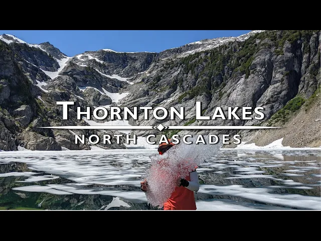
The above video was the final reference media used in this project. The video showcases the hiking trails at Thornton Lakes, showing the inner paths and features of the foliage that are not visible from a distance.
From the video, I was able to glean that the forest floor, while it had shrubbery and tall grasses, was patchy and mostly consisted of dirt and debris. I was also able to confirm that the shrubbery was actually somewhat sparse along the paths as well, although not as much as initially expected. This finding led to raising the foliage density for shrubs more. The video also revealed the loose, rocky shore along the upper lake. This detail is apparent in the reference screenshots as well, albeit less obvious. This finding led to changing the texture of stone in my landscape material to one that seemed to have more loose debris.
